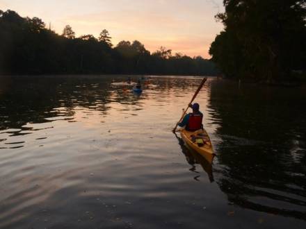
The lower Etowah is more of a wilderness experience than the upper section, flowing for about 9 miles through mostly Dawson Forest WMA land and well away from traffic and major roads. Minor rapids and many twists and turns, combined with a relatively fast-flowing current give boaters plenty of challenge but no real concerns. The river is larger in this section, having picked up the flow from several area streams along the way. Banks are steep and high, and aside from a few access points within the Dawson Forest WMA, (see A Canoeing and Kayaking Guide to Georgia) takeouts are non-existent from Highway 53 until either the Highway 9 bridge a couple miles downriver, or Kelly Bridge Road bridge another seven miles or so below Highway 9.
To reach the take-out, go west off Highway 400 on Dawson Forest Road, bearing left when you reach Highway 9. Proceed south until reaching AT Moore Road, which shortly merges into Kelly Bridge Road. Stay on Kelly Bridge until reaching the Etowah, stopping on the upstream side of tthe bridge. A gated road is closed but unlocked, and the private landowner allows parking for 2 per person.
The lower river offers scenic vistas of surrounding mountains as well as a more remote float experience. Floaters will see the signs of high water with debris far up the steep banks, testimony to the river’s power during turbulent weather. For the most part, rapids in this section are nothing more than swift sections, with most of the challenge coming in the form of frequent turns and the occasional log or debris dam partially obstructing the river.
Lower Etowah Section