From its source deep in the mountains of north Georgia, the upper Etowah is a swift-flowing stream with small, manageable rapids suitable for recreational canoeists and other boaters. Nearly 10 miles of river wind through the secluded farm country of northern Dawson County, and although the upper section is paralleled by roads on both sides for much of its length, it is set back far enough from traffic noise to give paddlers a sense of seclusion and wilderness. Put-in for the upper Etowah River is at Highway 136 where the river runs under the highway. Highway 136 is about 6 miles west of Georgia 400. Be careful putting your canoe or craft in the water as the hillside is quite steep down to the water. Although there is parking room on both sides of the road and the river, the designated parking lot is just west of the bridge on the north side of Highway 136.
In its upper reaches, the river runs fairly fast over a mostly gravel and sand/silt bottom with an abundance of rocks – some of which are exposed, while others sit just below the surface. Expect scraping and bumping over rocks in this section, particularly during periods of low water. About 1.5 miles below the put-in, the only serious rapid in the entire upper stretch – Etowah Falls – stretches nearly river-wide and drops more than 10 feet. Experts and thrill seekers have run the falls; most boaters portage, however. Just above the falls there is ample area to pull onto the gravel and rocks on the right side of the river. This is the only rapid of consequence to be concerned with, although the entire upper river moves swiftly and provides an exciting float trip for any skill level.
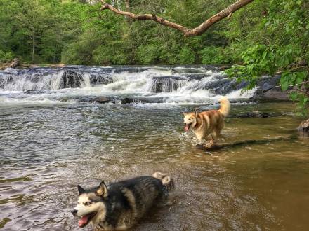
Scenery is spectacular; pastoral farms and abandoned fields often have a resident deer or two feeding peacefully. Boaters frequently spot wild turkey, grouse, songbirds, and other wildlife as they navigate this section. Just past the falls, another river feature beckons daring boaters; this one is man-made but thrilling nonetheless. An old tunnel bored through the river rock provides a few hundred yards of adventure before emerging from the other side. Boaters are warned that the water moves swiftly through the tunnel, so be prepared! Do not enter if you can’t see light from the other end, as seasonal debris and logs can block the exit, making for a little too much adventure!
Directions:
The river’s close proximity to both Highway 53 and Highway 9 a few miles further south give the boater several choices for ending or beginning a river trip on the Etowah. The take-out point for the upper Etowah and the put-in for the lower river is a matter of preference. The banks down to the river at the Highway 53 and Highway 9 bridges are very steep, and parking adjacent to the bridges is minimal and difficult to access or egress due to traffic. The launch at Hugh Stowers Road has better parking and also is out of the main flow of traffic. A new canoe launch is planned for the parking area at Highway 9, and will be open for public use, including parking areas, portable toilet, picnic tables, and trash cans.
Upper Etowah Section